



Pipeline survey data.
One click.

Plug in the field device, press one button, and get every file copied, checked and turned into graphs, maps and a report. It never changes a thing on the device.

Download

Windows 10 & 11 · Full builds need nothing installed · Read-only by design

StrataDump for Mesa

Field-tested on real Mesa 3 tablets

Everything off the Mesa tablet. Graphed the way CP Data Manager prints it. Mapped in Google Earth. In one click.

One click · Read-only

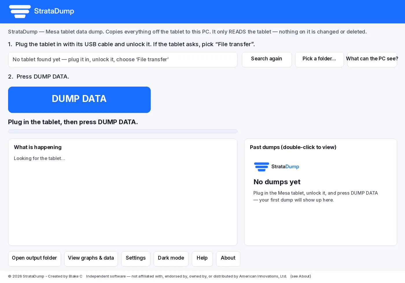
Plug in. Press DUMP DATA.

Connect a Mesa 3 (Mesa for Android) over USB and it shows up by itself. One button copies the live CI, DCVG, DVM and periodic survey files and their photos. Every dump gets its own folder, and nothing is ever overwritten.

  • Only reads the tablet. It never deletes, moves, renames or writes anything on it.
  • Every file is checked with SHA-256 and listed in a manifest.
  • Backup copies are skipped automatically, so you only get the live data.
  • Also works from an SD card, a USB stick or any folder. Just drag it onto the window.
StrataDump main window with the blue DUMP DATA button

CIS graphs

1:1 with CP Data Manager.

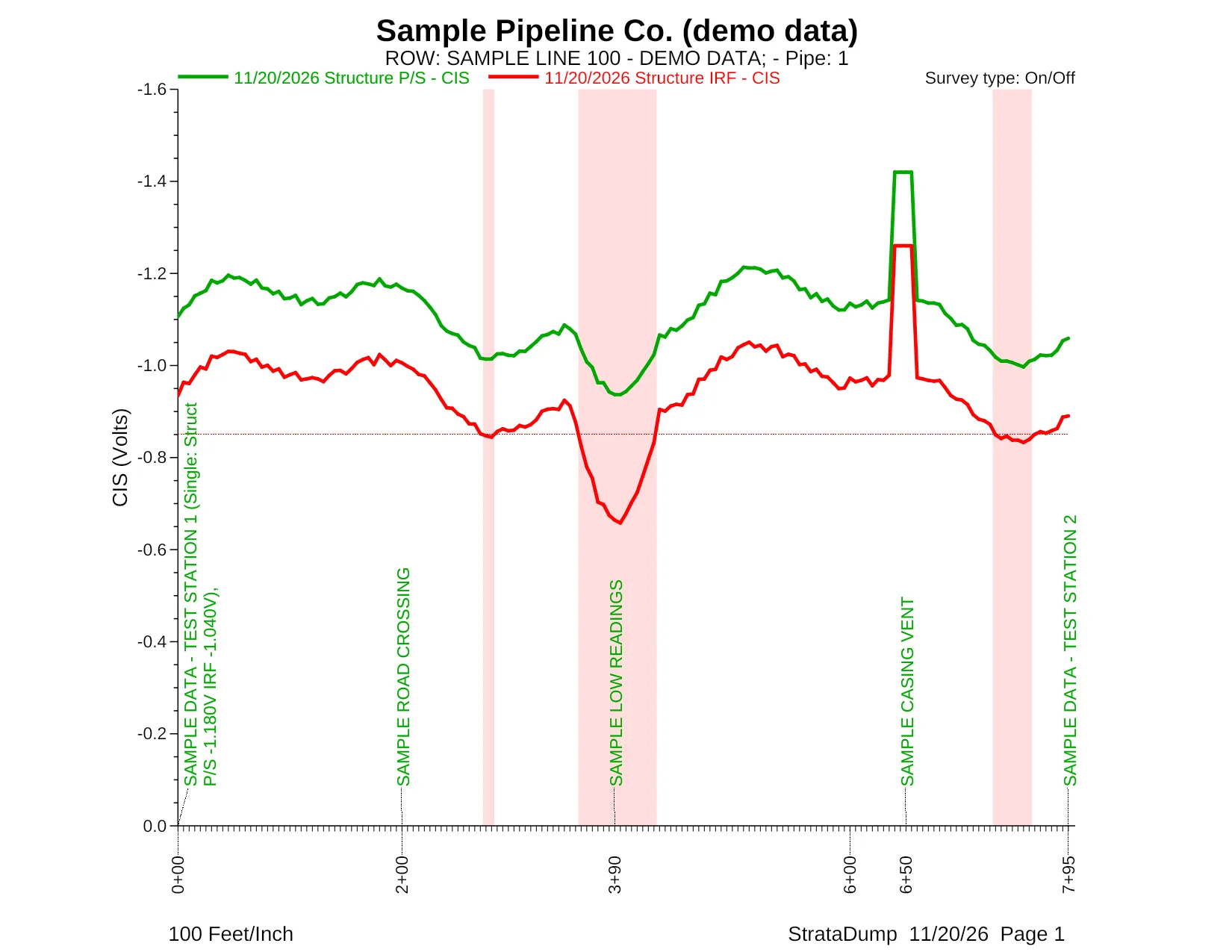
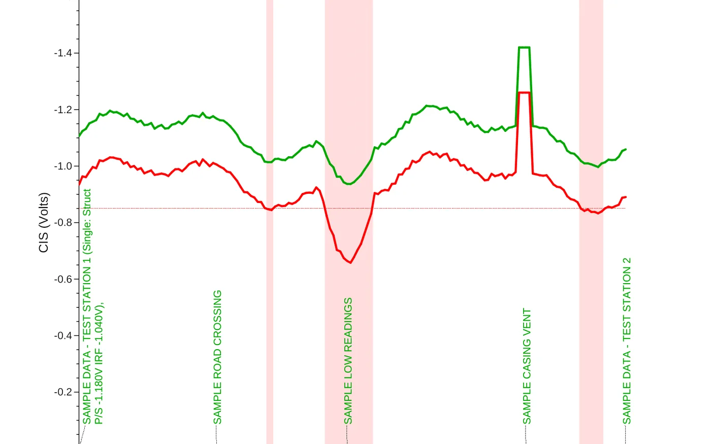
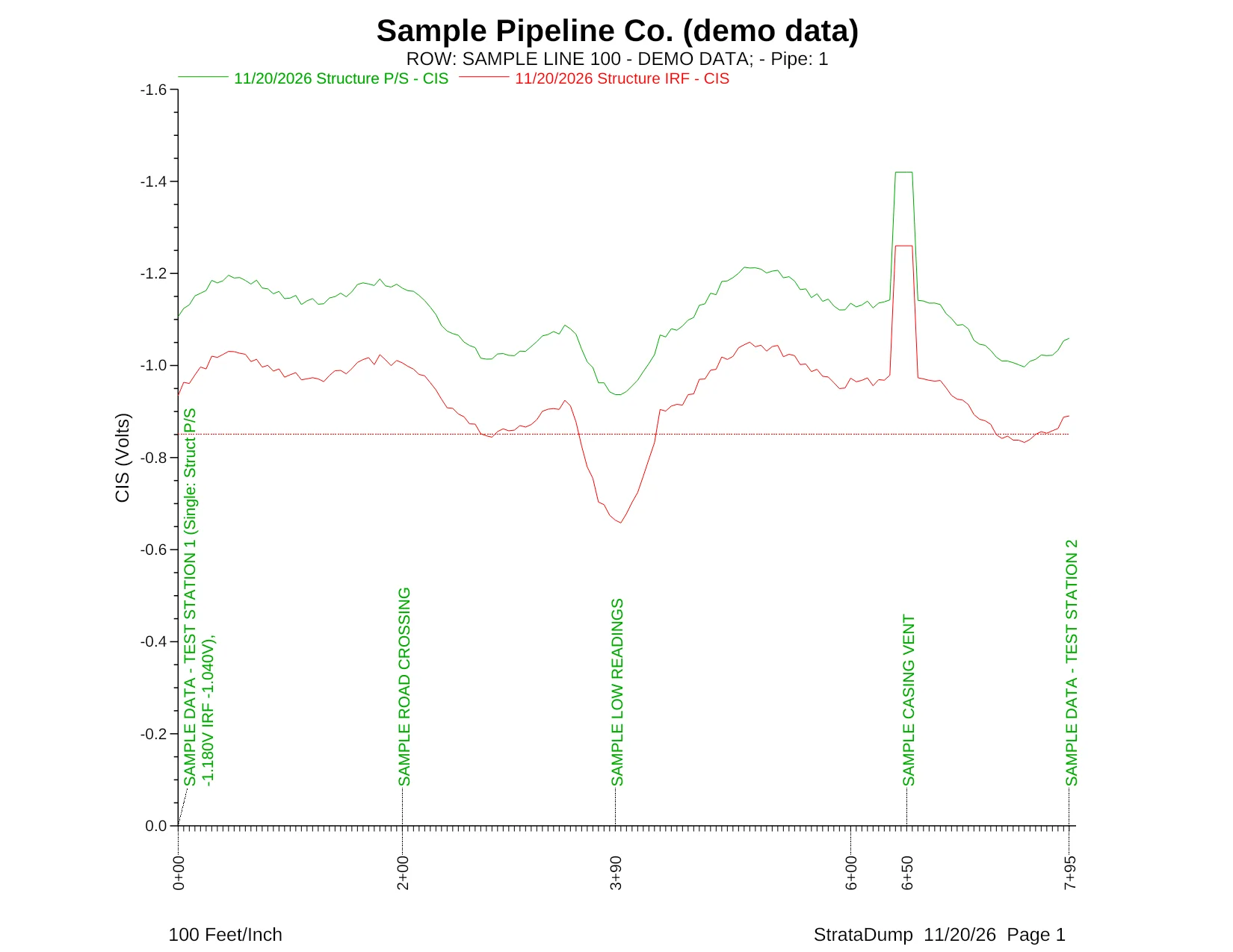
Each CIS page is drawn the way AI's CP Data Manager prints it: Letter landscape, 100 feet per inch, the green On trace, the red Off trace and the dashed −0.850 V criterion line, with comments written up from the axis.

On/OffDepolarizedOn only
  • Survey type detected automatically, or pick it yourself.
  • Failing stretches shaded red. Overprotection is flagged separately and never counted as failing.
  • Zoom, pan, hover readouts and a compare-with survey overlay on screen.
CIS graph page drawn by StrataDump from demo data, with On and Off traces and the -0.850 V line
Drawn by StrataDump from demo data.
7.8%

of Off readings failing −0.850 V

The number that matters, front and centre. Every report leads with the failing share and the count behind it. Example figure.

Printable report

A Data Summary that writes itself.

One click makes a PDF: the CP Data Manager pages first, then Data Summary pages with the failing headline, survey numbers, a GPS mini-map, flagged stretches, the worst readings and the full comment log.
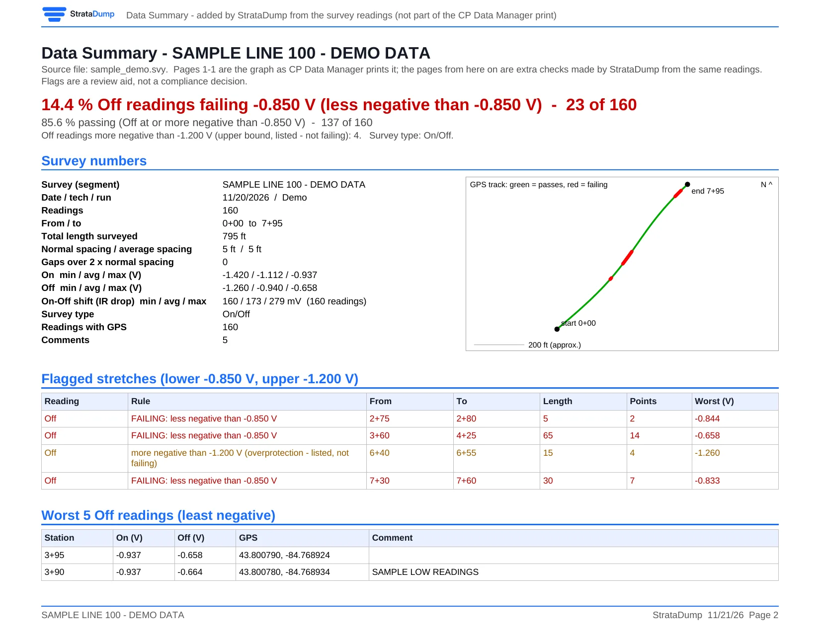
Data Summary page of the StrataDump PDF report, demo data

Google Earth

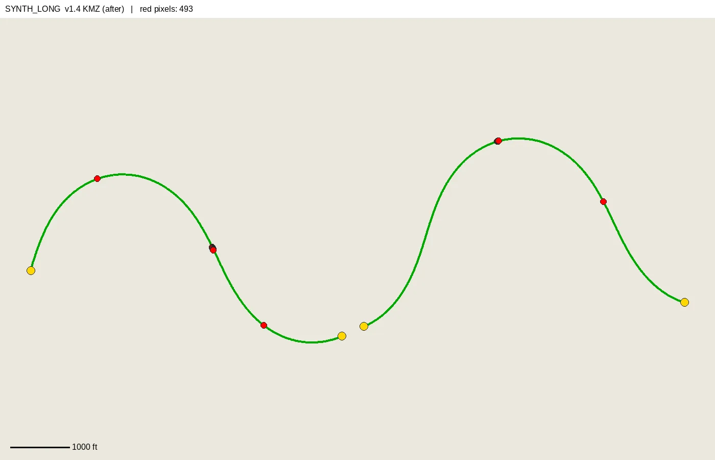
Failing points, in red, on the map.

Every CIS survey with GPS gets a .kmz. Failing readings get a thick red line and a red pin, drawn on top so even one shows on a miles-long line.

Map track with red failing points, synthetic test survey

One dot per reading

A dotted readings map.

A second .kmz puts a dot at every reading: green passes, red failing, orange overprotection, each in its own folder you can tick on and off.

GPS jump detection

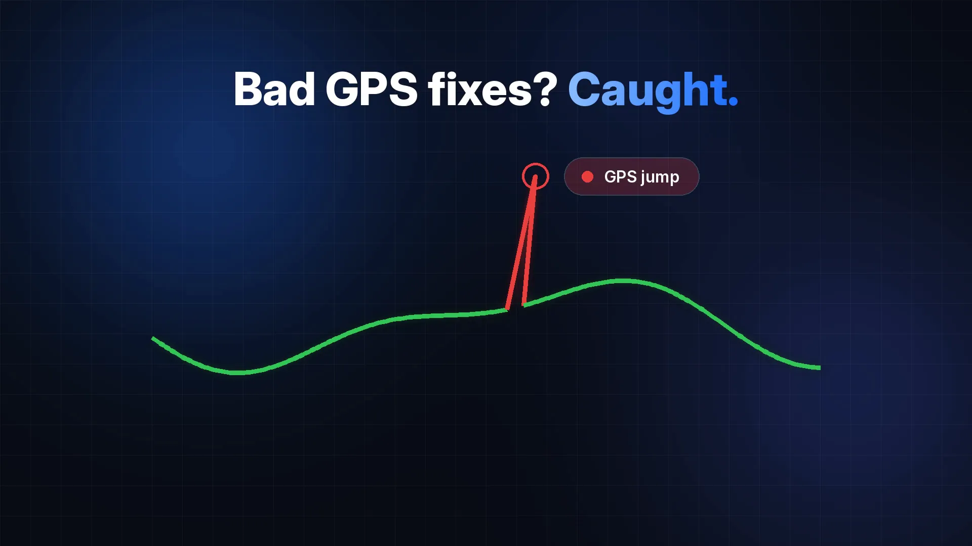
Bad GPS fixes? Caught.

A stray fix thousands of feet off used to drag a straight line across the map. StrataDump leaves bad fixes off the map, breaks the line at jumps and SKIP comments, and lists every anomaly.

Illustration of a GPS jump being caught

Make it yours

Line weights. Fonts. Light or dark.

Thicken the On and Off traces, change the graph font and size, and switch the app between light and dark mode. The defaults stay exactly as printed.

CIS page with thicker lines, larger font and failing shading, demo data

DVM waveforms

Waveforms, tablet style.

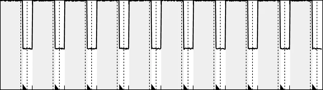
DVM captures are drawn like the picture the tablet saves: grey bands for the On period, the trace, and tick marks at each reading.

DVM waveform drawn in tablet style from demo data

And the details that save an afternoon.

  • Excel summaryOverview, surveys, photos, map points, file types and every readable table.
  • SHA-256 manifestManifest_SHA256.csv plus a standard SHA256SUMS.txt.
  • Ready for PCSCompleted surveys packaged as .psx with their photos.
  • Photo indexEXIF date and GPS, with a map link for each photo.
  • Plain-English read-meEvery dump explains what was copied and what was skipped.
  • No internet neededMakes no connections unless you click a map link.

StrataDump for GeoXH

Field-tested on real Trimble GeoXH units

Pull every file off your Trimble GeoXH in one click. Read-only, every file SHA-256 verified, every shot mapped on an offline map with full attributes.

One button

Everything on the handheld. Verified.

Works over Windows Mobile Device Center or ActiveSync, or straight from the SD card in a card reader. It finds the TerraSync folder automatically.

  • Copies TerraSync and Trimble data, data dictionaries, waypoints, backgrounds, photos, GIS files and My Documents.
  • Or copy the whole storage card or the whole device.
  • Each file's hash is read on the device and matched against the PC copy, then recorded in manifest.csv and manifest.json.
  • Never deletes or changes anything on the handheld.
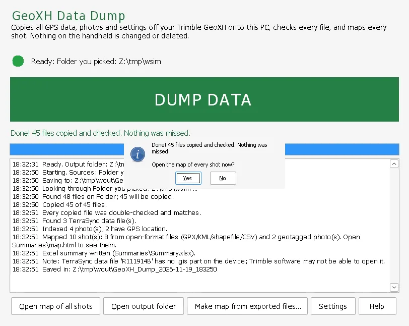
GeoXH dump finished: 45 files copied and checked

Offline map

Every shot. Every attribute. On one map.

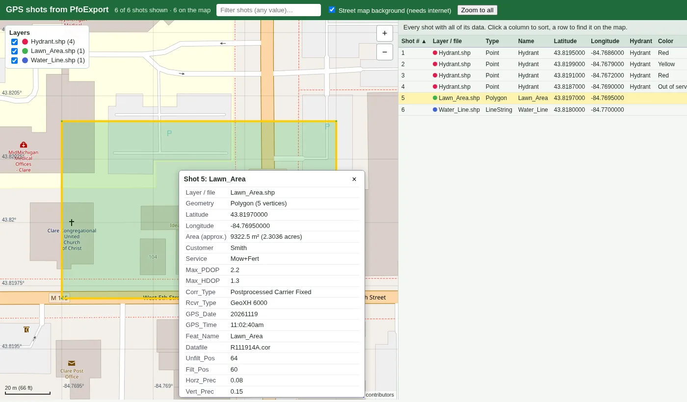
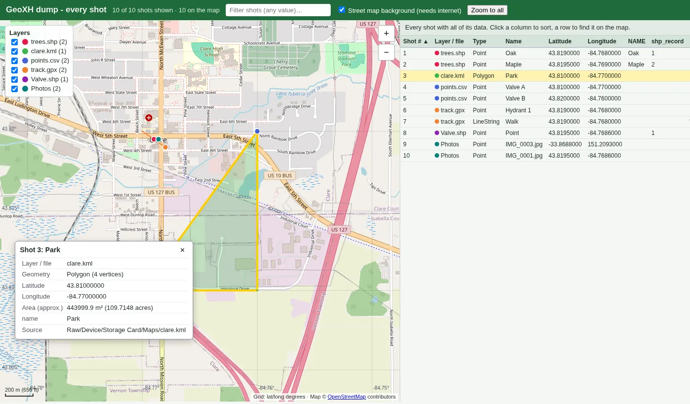
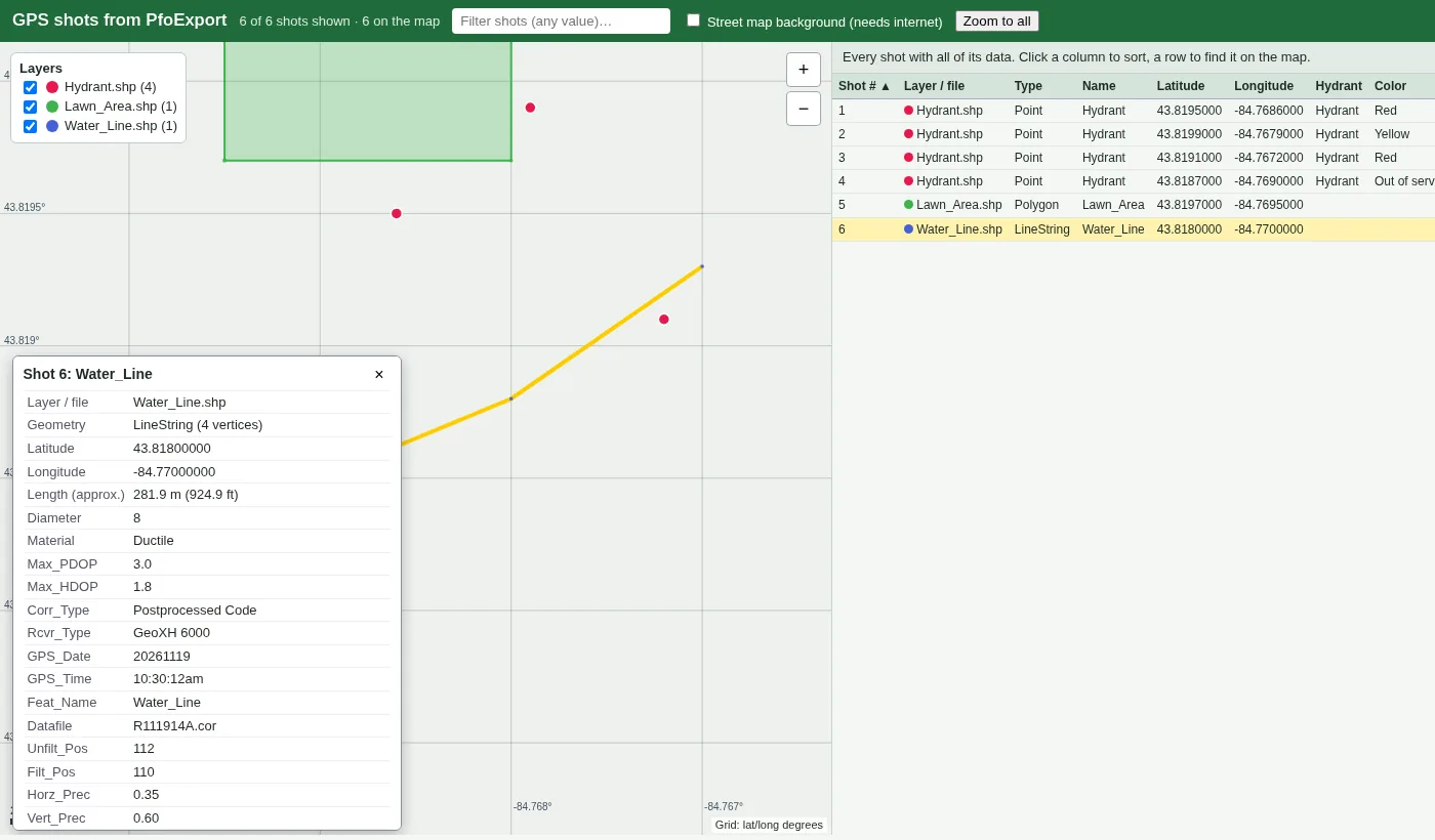
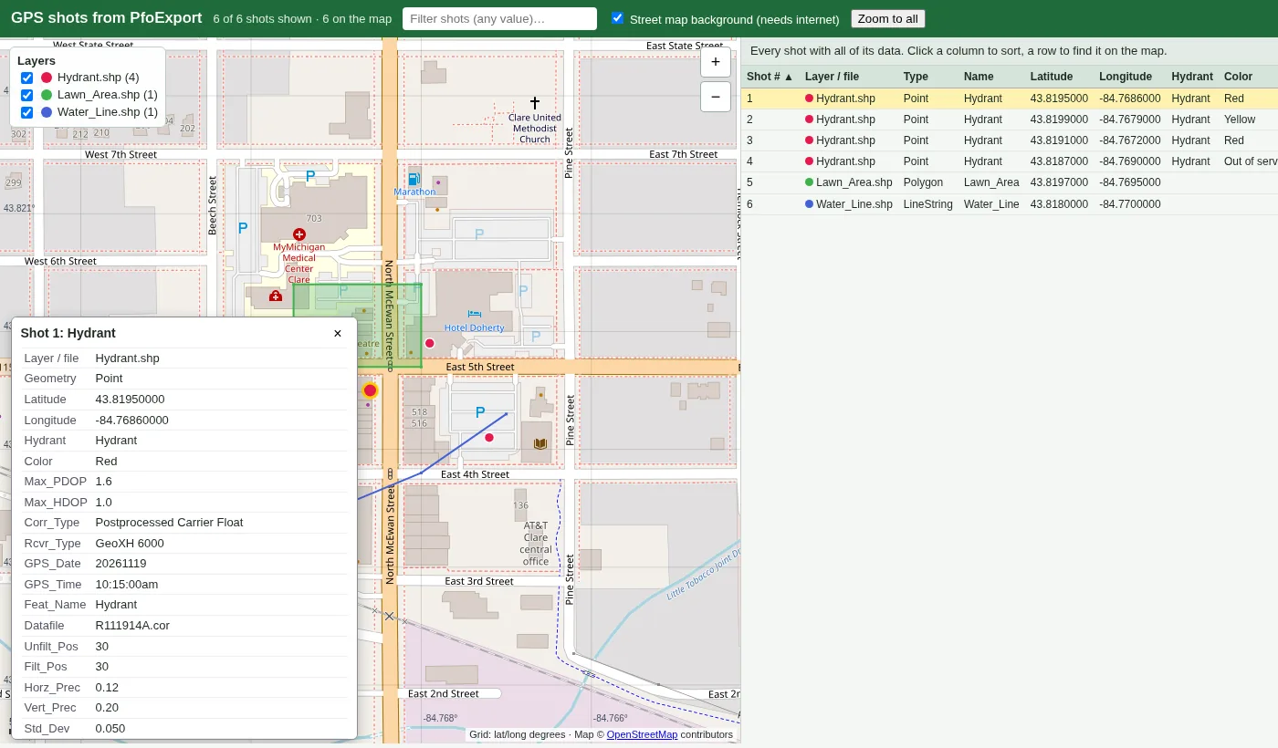
A single map.html that works offline plots points, lines and areas. Click any shot for a popup with all of its attributes, or sort and filter the full table.

  • UTM and State Plane coordinates converted automatically.
  • Reads GPX, KML, CSV, shapefiles and the GPS in photo EXIF data.
  • Exports shots.csv, shots.geojson and shots.kml.
Offline map showing an area shot with its attribute popup and a sortable table
  • Single portable exeCopy anywhere and double-click
  • Full & SlimTwo builds
  • No installFull build needs no .NET
  • WM5 – WM6.5GeoXH 2005, 2008 and 6000 series

StrataDump for Mesa

Works with what you already use.

Your raw survey files stay exactly as the tablet wrote them, and every export is a standard format. Nothing to convert, nothing locked in.

Raw files, untouched

Survey files (.svy, .dvg, .psx), DVM captures and photos are copied byte-for-byte in the original folder layout and checked with SHA-256, so AI's PCS software still reads them.

PCS

Ready for PCS

Each completed survey is packaged as its .psx plus photos, the hand-off AI documents for PCS "Field Computer Receive › From Disk".

PCS

Graphs that match the print

CIS pages laid out 1:1 with the CP Data Manager printout, in a standard PDF that anyone can open, print or email.

PDF · PNG

Standard KMZ & KML

Standard KMZ files that open in Google Earth and any mapping or GIS app that reads KMZ, plus KML and GeoJSON of every GPS point.

Google Earth · GIS

Spreadsheets

An Excel summary workbook and plain CSV files of every readable table, survey inventory and photo index.

Excel · any spreadsheet

Checkable hashes

A SHA256SUMS.txt in the standard format, so anyone can verify the copies with common checksum tools.

sha256sum · audits
.svy.dvg.psx.kmz.kml.geojson.pdf.xlsx.csv.png.jpg

Download

Get StrataDump.

Single-file Windows programs. Copy anywhere and double-click.

StrataDump for Mesa

Version 1.6.0

System
Windows 10 (1809 or newer) or Windows 11, 64-bit
Full
Self-contained, about 90 MB. Nothing to install. Recommended.
Slim
Smaller download. Needs the free Microsoft .NET 8 Desktop Runtime (x64).
Devices
Mesa 3 / Mesa for Android over USB. Mesa for Windows, SD cards and folders.

StrataDump for GeoXH

Portable · 64-bit

System
Windows 10 or 11, 64-bit
Full
Self-contained, about 60 MB. Nothing to install. Recommended.
Slim
About a 3 MB download (11 MB exe). Needs the free Microsoft .NET 8 Desktop Runtime (x64).
Connect
Windows Mobile Device Center or ActiveSync, or the SD card in a card reader.
Devices
GeoXH 2005 (WM5), 2008 (WM6) and 6000 series (WM6.5).

Questions or support: stratadump@gmail.com

First run on Windows: the programs aren't code-signed yet, so Windows SmartScreen may show "Windows protected your PC". Click More info, then Run anyway. Some company PCs block unsigned programs; ask IT if it won't open.